
The Bizarre Geometry of Africa: How Colonial Lines Carved a Continent
Africa's Borders: A Cartographic Journey of Complexity and Conflict
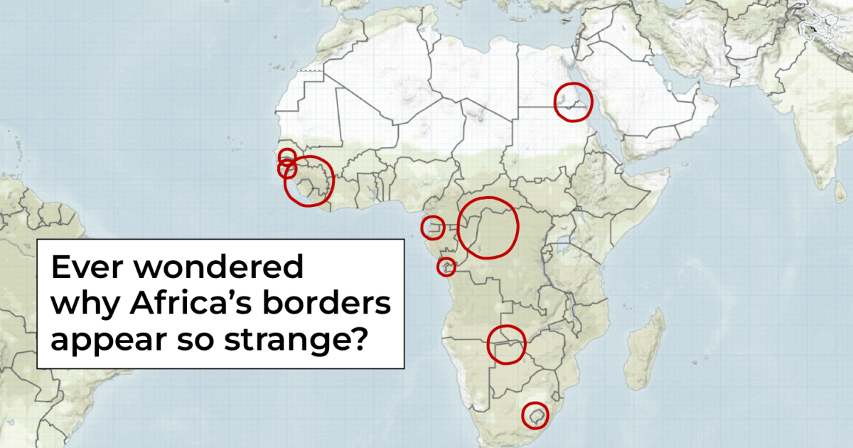
The African continent's map tells a fascinating story of colonial legacy, arbitrary divisions, and geopolitical intrigue. What appears to be simple lines on a map are actually complex narratives of historical negotiations, imperial ambitions, and cultural disruptions.
Colonial powers like Britain, France, Germany, and Belgium drew borders with rulers and compasses, often disregarding traditional ethnic boundaries, tribal territories, and natural geographical features. These artificial demarcations split communities, separated ethnic groups, and created nations that would struggle with identity and cohesion for decades after independence.
Some borders cut through landscapes with mathematical precision, creating seemingly absurd geographical anomalies. Landlocked nations like Botswana, Uganda, and Zimbabwe bear witness to the arbitrary nature of these colonial-era decisions, their national identities shaped by lines drawn thousands of miles away in European capitals.
The consequences of these cartographic decisions continue to reverberate today. Border disputes, ethnic tensions, and territorial conflicts are often direct results of these historical boundary drawings. Each line on the map represents not just a political boundary, but a complex narrative of human migration, cultural intersection, and historical struggle.
Understanding Africa's borders is more than a geographical exercise—it's a profound exploration of how colonial legacies continue to shape contemporary African geopolitics and national identities.